Aerial Drone Services - Aerovision Drone LLC
Mapping, Photography, and Commercial UAV Solutions
Aerovision Drone LLC offers a broad suite of aerial drone services designed to give businesses, landowners, and agricultural operations the data and imagery they need for planning, marketing, and management. Our capabilities include high-resolution aerial photography, orthomosaic mapping, NDVI and multispectral surveys, commercial inspections, and licensed drone operator services for hire. Operating from Linn, MO, we combine FAA-compliant pilots with professional-grade sensors to deliver accurate, actionable aerial products.
Why Aerial Drone Services Matter
Aerial data and imagery provide a vantage point beyond what ground inspection or satellite imagery can deliver. High-resolution images enable precise measurements, detect plant stress before symptoms appear visually, and create compelling marketing assets for property and commercial listings. For commercial operations, drones reduce risk and provide documentation quickly and cost-effectively.
Key Benefits of Our Aerial Drone Services
Accurate Measurement
Generate precise acreage calculations, distance measurements, and volume estimates from orthomosaic maps.
Early Detection
NDVI and multispectral imaging reveal stress patterns, nutrient deficiencies, and pest pressure earlier than visual scouting.
Marketing Quality
Professional aerial photography showcases property features and amenities for listings, brochures, and websites.
Inspection Efficiency
Roofs, towers, or industrial assets can be inspected safely and quickly using drones, reducing risky work at height.
Licensed Operators
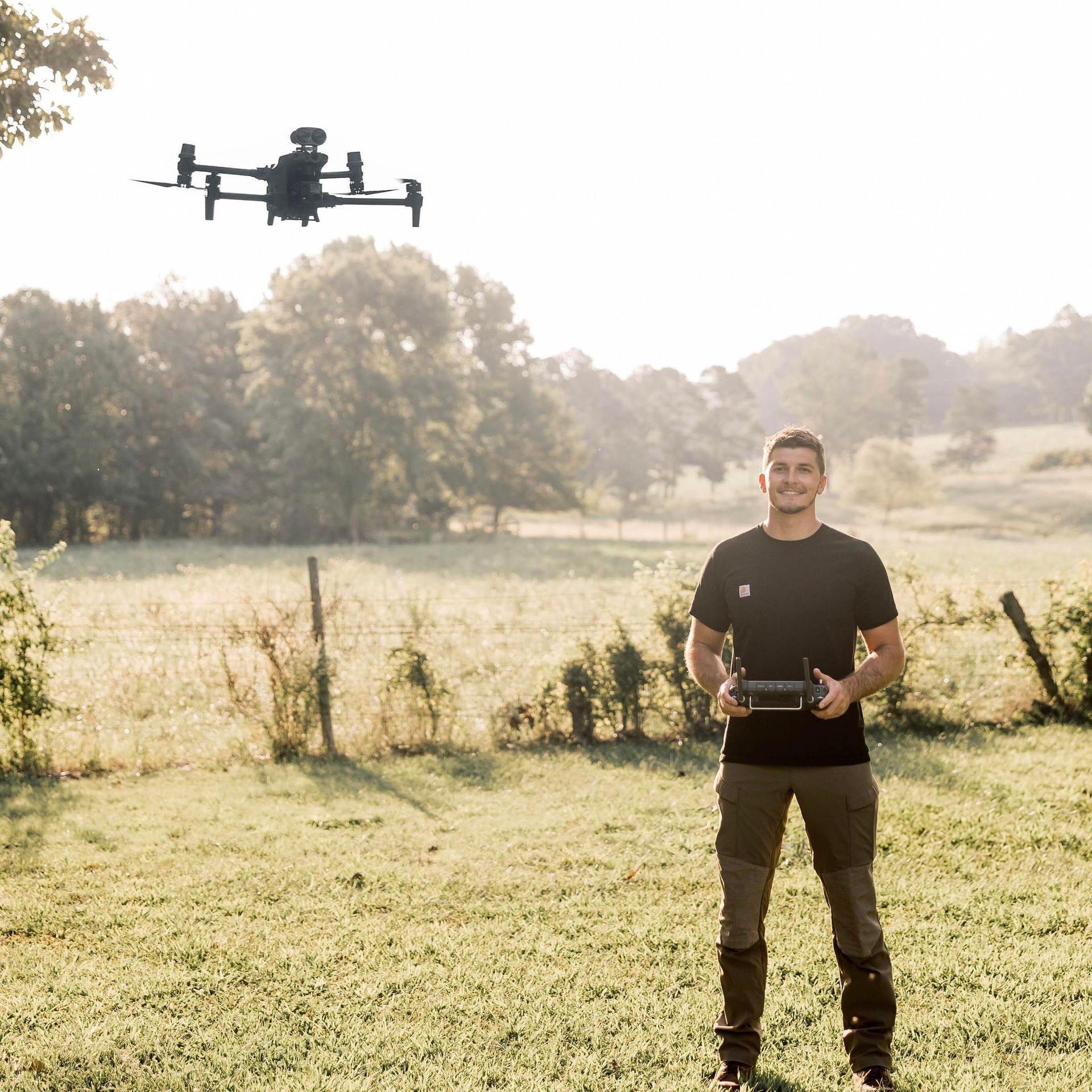
Hire our FAA-certified pilots for projects requiring professional oversight and compliance.
Service Offerings and Capabilities
High-Resolution Aerial Photography
Applications: Real estate, marketing, event coverage, and property documentation.
Deliverables: Edited high-resolution images suitable for print and web.
Orthomosaic Mapping and 2D/3D Modeling
Applications: Acreage mapping, construction site documentation, land planning, and bankable maps for reclamation.
Deliverables: Geo-referenced orthomosaic maps, elevation models, and contour data.
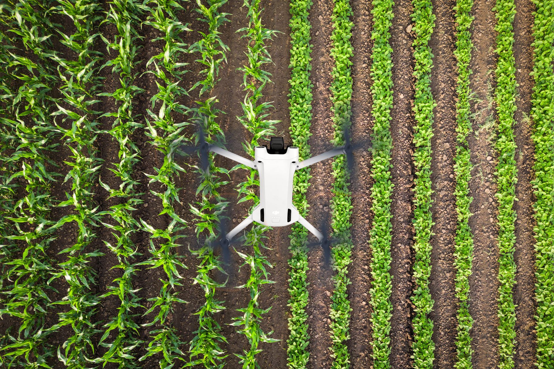
NDVI and Multispectral Surveys
Applications: Crop health monitoring, stress detection, nutrient management, and targeted scouting.
Deliverables: NDVI maps, vegetation index overlays, and actionable reports identifying areas of concern.
Inspection and Surveying
Applications: Roof inspections, infrastructure monitoring, post-storm damage assessments, and industrial inventory.
Deliverables: Detailed imagery, annotated reports, and recommended actions.
Drone Operator for Hire (Commercial Drone Services)
Applications: Long-term projects requiring licensed pilots, third-party operations, or integrated services for construction, surveying, and event coverage.
Deliverables: FAA-compliant flight logs, insurance documentation, and professional piloting services.
How We Deliver Accurate, Actionable Products
Planning: Define project objectives, resolution needs, and coordinate logistics for access and airspace considerations.
Data Capture: Conduct flights using professional-grade sensors and platforms capturing imagery and telemetry data.
Processing: Use industry-standard photogrammetry and analysis software to produce orthomosaics, NDVI maps, and 3D models.
Reporting: Provide clear, annotated reports with recommendations and next steps for management or marketing.
Use Cases and Business Benefits
Agriculture
Regular NDVI surveys throughout the season let growers target inputs and detect issues early, improving yield potential while reducing waste.
Real Estate
Aerial photography increases listing visibility and highlights property attributes that ground photos can’t capture.
Real Estate
Aerial photography increases listing visibility and highlights property attributes that ground photos can’t capture.
Construction
Site progress mapping and volumetric measurements speed project documentation and billing.
Insurance and Damage Assessment
Fast, documented aerial photos enable quicker claims processing and damage evaluation.
Insurance and Damage Assessment
Fast, documented aerial photos enable quicker claims processing and damage evaluation.
Quality, Safety, and Compliance
FAA Standards: All pilots are Part 107 certified and flight operations adhere to relevant FAA rules and local restrictions.
Insurance: Commercial liability coverage is in place for client protection.
Security and Privacy: We follow ethical standards for privacy and will coordinate Notices to Airmen or neighbor notifications when required.
Data Security: Delivered data is handled securely and shared through agreed channels and formats.
Integration with Our Other Services
Aerial drone services complement our spraying, seeding, and recovery operations:
Pre-Application Mapping: Identify problem areas for targeted spraying and seeding.
Post-Application Surveys: Confirm coverage and measure treatment efficacy.
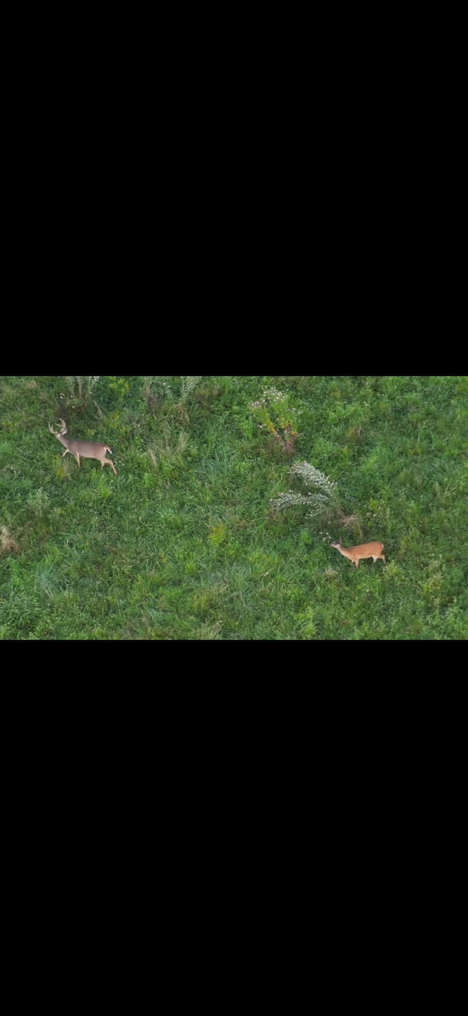
Herd Analysis: Combine mapping with GPS and aerial imagery to analyze grazing patterns and herd distribution.
Why Clients Choose Aerovision Drone LLC for Aerial Services
Professional Deliverables: We provide client-ready maps, images, and reports tailored to your needs.
Local Knowledge: Familiarity with Missouri landscapes and agricultural rhythms helps optimize timing and outcomes.
Single-Source Provider: Combine mapping, spraying, seeding, and recovery services with one vendor for streamlined management and consistent data.
Frequently Asked Questions — Aerial Drone Services
How accurate are drone-generated maps?
Accuracy depends on control points, flight altitude, and processing. We aim for sub-meter accuracy and can deliver survey-grade outcomes with ground control points when required.
How long does data processing take?
Typical orthomosaic and NDVI processing takes 24–72 hours depending on acreage and resolution. Rush processing can be arranged for urgent needs.
Do you store client data?
We provide secure delivery and storage per client preference and remove data on request. We never share client data without permission.
Can you provide pilots for long-term projects?
Yes. We offer operator-for-hire services and can support multi-phase projects with consistent staffing and documentation.
book now
Contact Us
We will get back to you as soon as possible.
Please try again later.
Contact Us
To discuss aerial mapping, photography, or to hire a licensed drone operator, call (573) 578-5005 or visit our office at 398 Route CC, Linn, MO 65051. We’ll help define project parameters, timelines, and provide a tailored quote.